Do You Need a Topographic Survey Before Building in Utah?
What Is a Topographic Survey?
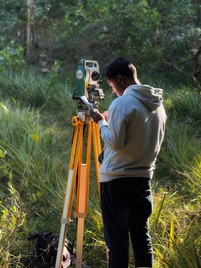
A topographic (topo) survey maps the physical features of your land — elevation contours, trees, drainage patterns, existing structures, and utilities. Unlike a boundary survey (which identifies property lines), a topo survey shows what the land looks like, which is essential for design and engineering.
When Do You Need One?
You'll need a topographic survey if:
- You're applying for a building permit in most Utah counties
- Your lot has significant slope or irregular terrain
- You're doing drainage engineering or grading design
- You're working with an architect or civil engineer who needs site data
What's Included?
A topo survey from Peaking E&C includes:
- GPS-accurate elevation data collected in the field
- 1-foot or 2-foot contour intervals (per county requirements)
- Existing feature mapping (trees, structures, utilities, drainages)
- CAD-format deliverable compatible with engineering software
- Compliance with local municipality requirements
How Long Does It Take?
Field work on a standard residential lot takes 1–2 days. Data processing and plan delivery typically takes another 3–5 business days. Complex sites (steep terrain, large acreage) may take longer.
How Much Does It Cost?
Costs vary by lot size, terrain complexity, and location. We offer competitive pricing and will give you a firm quote after a quick review of your parcel. Call 801-791-4095 or contact us online for a free estimate.
Topo + Site Plan = One Stop
At Peaking E&C, we handle both the topo survey and the site plan — meaning your survey data flows directly into your permit set without delays or miscommunication between firms.